|
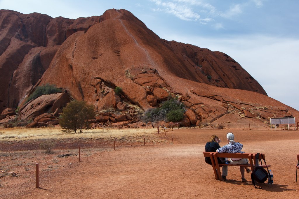 |
| 14-The path to the top of Uluru | |
| Latitude: S 25°20'33,48" | Longitude: E 131°1'17,48" | Altitude: 526 metres | Location: Ayers Rock | City: Yulara | State/Province: Northern Territory | Country: Australia | Copyright: Ron Harkink | See map | |
| Total images: 19 | Help | |